
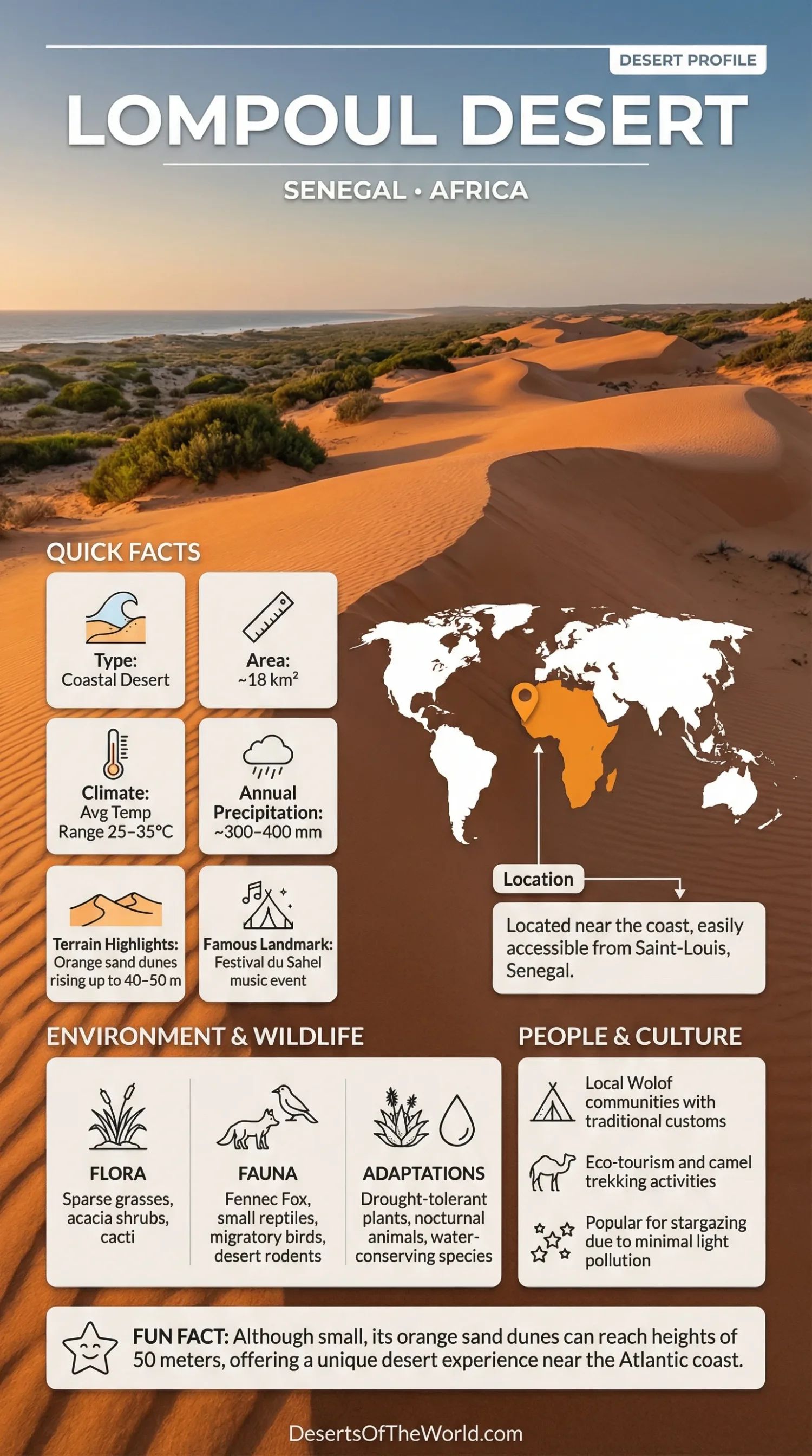
Location & Continent
Continent: Africa
Country: Senegal (Louga Region, between Kébémer and Lompoul-sur-Mer)
Coordinates: Approximately 15°27′45″N, 16°41′17″W
The Lompoul Desert is a small dune field in northwestern Senegal, roughly midway between Dakar and Saint-Louis and less than 10 km from the Atlantic coast. It lies within the broader Niayes coastal zone, where dunes alternate with interdunal depressions and areas of vegetation.
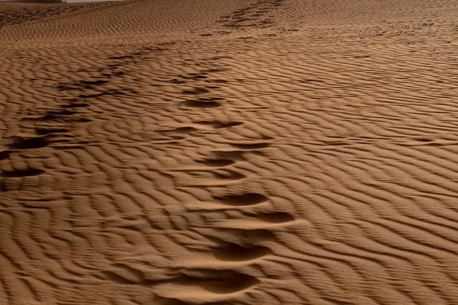
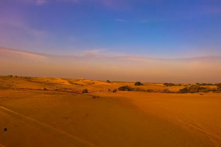
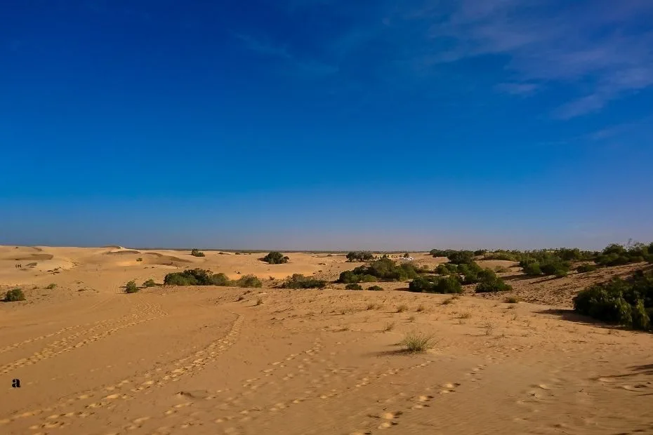
Photos of the Lompoul Desert
Physical Features
Area: Approximately 18 km²
Elevation: Low-lying coastal dune landscape
Notable Landforms: Fine orange to reddish sand dunes, with local geographic sources reporting heights of up to approximately 40–50 m
The commonly cited 18 km² figure refers to the Lompoul dune field itself. The larger Niayes coastal dune system extends far beyond Lompoul, so measurements of broader sandy or dune-covered land should not be presented as the area of the desert.
Older descriptions sometimes give Lompoul an area of about 42 km². Available Senegal-focused geographic sources consistently identify the named Lompoul Desert as roughly 18 km², making 18 km² the more appropriate figure for this profile.
Dunes and Interdunal Depressions
Lompoul is dominated by fine sand arranged in ridges and irregular dune forms. Wind continues to reshape exposed surfaces, while vegetation stabilizes parts of the surrounding landscape. The orange and reddish tones commonly associated with Lompoul are especially visible on bare dune slopes.
Dune heights vary across the area. Local Senegalese geographic and tourism references report individual dunes reaching about 40–50 m, while studies of the broader Niayes coastal dune systems describe lower heights for many surrounding dune formations. The 40–50 m figure is therefore best treated as a local maximum, not the typical height of every dune.
Between dune systems, shallow depressions are characteristic of the Niayes landscape. Some retain more moisture than the exposed sands and support vegetation or market gardening.
Climate & Precipitation
Climate: Semi-arid coastal Sahelian climate with Atlantic influence
Temperature: Warm to hot for much of the year, with the nearby Atlantic moderating conditions compared with inland Senegal
Precipitation: Approximately 250–300 mm annually in the Lompoul case-study area
A Food and Agriculture Organization assessment of the Lompoul case-study area in the Niayes region gives average annual rainfall of approximately 250–300 mm. This local case-study value is narrower than rainfall ranges reported for broader parts of the Niayes and nearby Sahelian zone.
Rainfall is strongly seasonal. Most precipitation falls during Senegal’s wet season, while a long dry season dominates the remainder of the year. Sandy soils drain quickly and store relatively little water near the surface, which adds to the dry appearance of the exposed dunes.
Atlantic Influence
Lompoul lies only a few kilometres from the Atlantic Ocean. This coastal position affects temperature, wind, and humidity and separates its climate from the hotter and more continental conditions found farther inland in the Sahel.
The combination of limited rainfall, permeable sand, seasonal winds, and sparse vegetation allows desert-like surfaces to persist even though Lompoul is not part of the Sahara proper.
Ecological Features
Ecozone: Afrotropical
Regional Setting: West African coastal Sahel and Niayes
Biome Context: Semi-arid savanna, shrubland, coastal dunes, and interdunal vegetation
Ecoregional Context: Sahelian Acacia Savanna
Lompoul is often called a desert because of its open dune landscape, but ecologically it sits within a semi-arid Sahelian and coastal dune environment. Its annual rainfall is higher than that of the central Sahara, and vegetation becomes more noticeable around stabilized dunes and moist depressions.
The surrounding Niayes form a narrow coastal system of dunes and interdunal basins extending along northern Senegal. Groundwater can occur close to the surface in some depressions, producing sharp ecological contrasts over short distances.
Flora & Fauna
Flora: Sparse grasses, drought-tolerant shrubs, scattered woody vegetation, and plants associated with more humid interdunal depressions
Fauna: Small reptiles, rodents, insects, and birds associated with the wider coastal dune and Sahelian landscape
Vegetation is sparse on the most exposed dunes, where loose sand and low moisture make plant establishment difficult. More stable surfaces can support grasses and shrubs, while nearby interdunal depressions may hold considerably denser vegetation.
The broader Niayes also contains planted belts of Casuarina equisetifolia, commonly known as Australian pine or filao. These trees have been used along parts of Senegal’s northern coastal dunes to reduce wind-driven sand movement and protect nearby agricultural depressions.
Wildlife of the Dune Landscape
Lompoul should not be assigned a typical Saharan fauna simply because it has open dunes. The site lies within Senegal’s coastal Sahel, close to cultivated depressions and other Niayes habitats.
Small reptiles, rodents, insects, and birds use the sandy and vegetated parts of this landscape. Species composition changes between exposed dunes, stabilized sand, shrubs, and wetter depressions.
Reliable site-specific occurrence records do not establish addax antelope or fennec fox as characteristic species of the Lompoul dune field. Their occurrence in other Saharan or Sahelian environments should not be transferred to Lompoul without local evidence.
Geology & Notable Features
Geology: Quaternary coastal dune deposits shaped by aeolian processes and the geomorphological history of Senegal’s northern Atlantic coast
Notable Features: Orange and reddish dunes, fine sand, interdunal depressions, and close proximity to the Atlantic coast
Lompoul forms part of the much larger Niayes dune system. Research on this coastal strip describes several generations of Quaternary dunes running broadly parallel to the shoreline.
Wind is responsible for much of the modern shaping of the exposed sands, but the origin of the landscape is older and involves changes in sea level, coastal sediment movement, and periods of dune formation along Senegal’s northern coast.
Sand Movement and Stabilization
Loose sand can move when strong winds act on surfaces with little vegetation. Plants reduce this movement by slowing near-surface wind and trapping sediment around roots and stems.
Vegetation belts have also been planted within the wider Niayes to stabilize dunes. These measures are particularly relevant where mobile sand lies close to agricultural depressions and settlements.
Lompoul and the Niayes Landscape
The Niayes are a narrow coastal region extending between the Dakar area and the lower Senegal River. Dune ridges alternate with elongated depressions, some of which have shallow groundwater and support productive soils despite the semi-arid regional climate.
Near Lompoul, these depressions create a clear contrast with the open sands. Market gardening occurs in suitable low areas where groundwater and soil moisture are more accessible. This means the Lompoul landscape can shift from sparsely vegetated dunes to cultivated or naturally greener ground within a relatively short distance.
The desert’s proximity to this agricultural zone is an important part of its geography. It is not an isolated sand sea.
Surrounding Communities and Land Use
Communities around Lompoul have long used different parts of the coastal landscape according to local soil and water conditions. Market gardening is concentrated in suitable interdunal depressions, while settlements and transport routes occupy more stable terrain.
Lompoul also became widely known through camp-based tourism, dune excursions, and cultural events during the 2000s and 2010s. Older descriptions of the site frequently mention camel rides, desert camps, and the Festival du Sahel.
The land-use setting changed substantially after 2023 as Grande Côte mineral-sands mining advanced through the Lompoul dune zone, and several long-established tourism camps ceased operating at the original site. The mining concession follows Senegal’s coastal dune belt, where zircon, ilmenite, rutile, and other heavy minerals are extracted. The operator states that worked dune areas are reshaped and revegetated after extraction. The physical dune landscape and its changing land use are therefore more relevant to the present-day site than older lists of tourism activities.