Location & Continent
The Al-Dahna Desert (also written Ad Dahna) is a narrow, bow-shaped sand corridor in Saudi Arabia. It acts like a red ribbon stitching together two much larger sand seas: An Nafud in the north and Rub’ al Khali in the south.
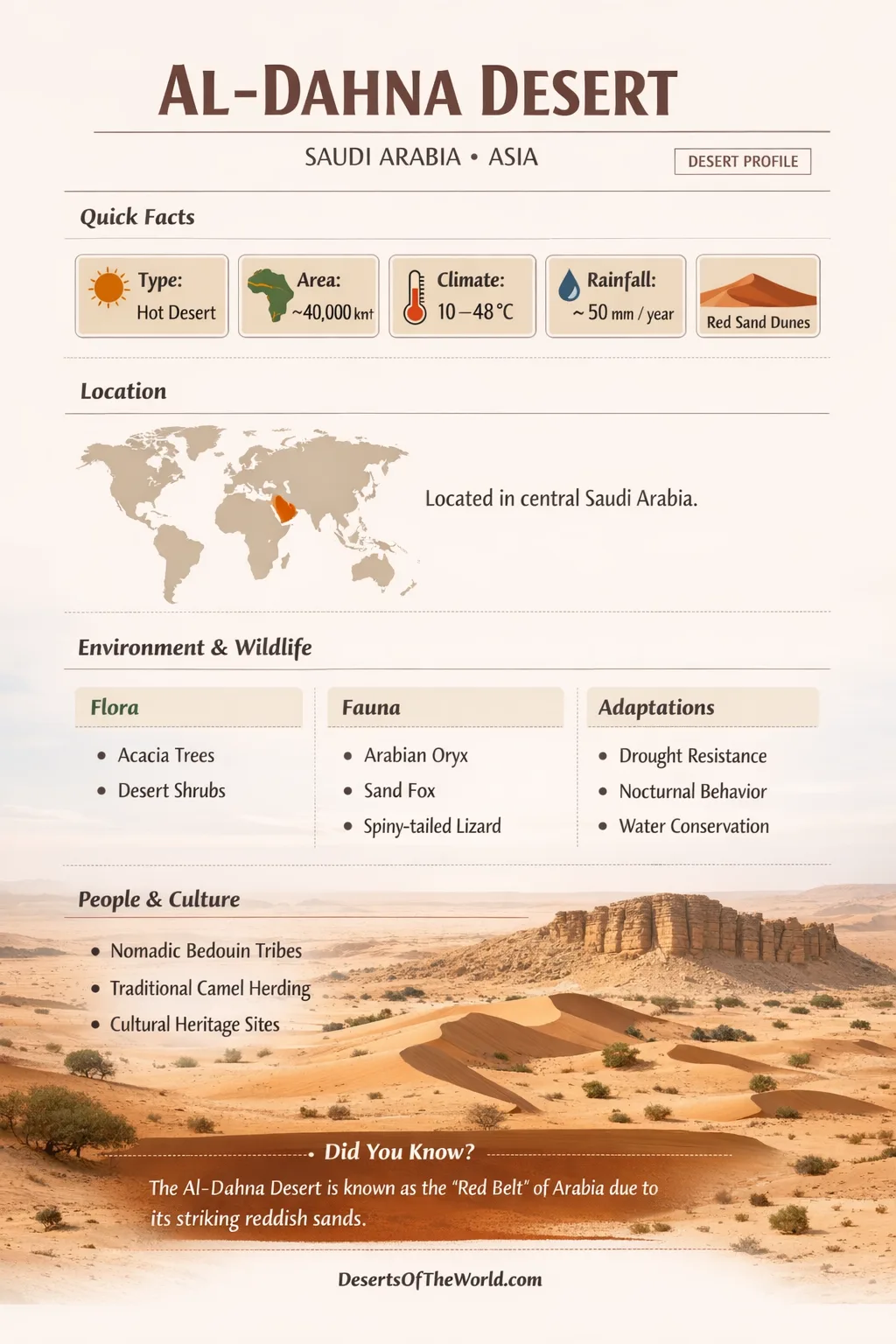
Continent: Asia
Country: Saudi Arabia
Shared Regions: Northern Borders, Ha’il, Al-Qassim, Riyadh, Eastern Province
Desert System: Central Arabian section of the Arabian Desert
Approximate Midpoint Coordinates: 24.5°N, 48.5°E
Al-Dahna Desert – Map
Physical Features
| Measure | What Is Commonly Reported |
|---|---|
| Length | About 1,200–1,300 km in a sweeping arc |
| Typical Width | Often 20–80 km (narrow compared to the deserts it connects) |
| Area | ~45,000 km² (figures can vary with mapping definitions) |
| Highest Elevation (Above Sea Level) | Up to ~779 m in some parts of the system |
| Dune Relief (Above Nearby Ground) | Commonly up to ~120 m in prominent red sand formations |
The signature look of Al-Dahna comes from its red sand. The color is strongly linked to iron oxide coatings on grains, turning ordinary quartz sand into something that feels almost brick-dusted when viewed from above.
Instead of being one continuous blanket, Al-Dahna Desert is often described as a chain of major sand ridges. These ridges are separated by flatter corridors where wind, runoff, and time have cleared or compacted sand into firmer surfaces.
Climate and Precipitation
Al-Dahna Desert sits inside a broad hot-desert climate zone. Days can feel intense, nights can cool quickly, and the year swings between warm seasons and cooler stretches that reshape how air moves across the dunes.
Rain is uncommon and usually arrives in short bursts, not long wet spells. When it does happen, the desert can change mood fast: dry dune faces darken, and shallow hollows may briefly hold water before the sand drinks it down again.
Wind is the real architect here. In satellite imagery and astronaut photography, parts of Ad Dahna show dune patterns that look like carefully combed lines beside smoother sand sheets. Those textures are clues to shifting wind directions across seasons.
Ecological Setting
In ecological terms, Al-Dahna Desert belongs to the wider deserts and xeric shrublands world of Arabia. Life here is not loud. It is precise, timed to brief moisture and cooler hours, and tuned to sand that never quite stays still.
The desert is best understood as several habitats woven together: dune crests, interdune flats, and occasional wadis that can channel runoff after rare storms. This tough enviroment rewards plants that can wait, hide, or stretch roots deep.
Common Survival Patterns in Al-Dahna
- Deep rooting to reach moisture pockets beneath sand, especially near firmer ground and shallow gravel layers.
- Small or waxy leaves that reduce water loss under hot, dry air.
- Seed dormancy that pauses plant life until the right rain arrives.
- Salt and mineral tolerance in places where fine sediments and evaporating moisture concentrate salts.
Flora and Fauna
The living cast of Al-Dahna Desert is shaped by heat, thirst, and timing. Many species lean on twilight activity, burrowing, or long-distance movement between scattered food patches.
Plant Life Often Associated With Central Arabian Sands
- Acacia species in suitable soils, valued for shade and hardy growth
- Tamarisk and other tolerant shrubs in areas influenced by salts or compact sediments
- Saltbush-like shrubs and tough grasses that hold dunes together
- Ephemeral wildflowers that appear quickly after rainfall, then fade just as fast
Animals Commonly Linked to Arabian Desert Habitats
- Dromedary camels, well suited to long distances and sparse forage
- Gazelles and other desert-adapted grazers where vegetation allows
- Reptiles such as lizards that handle hot sand and wide temperature swings
- Birds including larks and other open-desert species that track insects and seeds
- Invertebrates like beetles that thrive in sand microhabitats and feed food webs quietly
Biodiversity in Ad Dahna is often patchy by design: life gathers where terrain offers a little advantage, then spreads thin across the dunes like footprints that wind quickly erases.
Geology and Dune Architecture
Al-Dahna Desert is famous for linear dune chains, sometimes described locally as dune veins. Think of them as long sand ridges aligned with prevailing winds, running in different orientations across the desert’s arc.
North of roughly the 24th parallel, dune chains are commonly described as trending northwest to southeast, while farther south they often swing to a northeast to southwest direction. That shift hints at changing wind regimes along the corridor.
Dune Types Seen Across the Dahna Corridor
| Dune Form | How It Tends to Appear | Why It Matters |
|---|---|---|
| Longitudinal (Linear) | Long ridges, often parallel in chains | Signals persistent winds over long periods |
| Barchan (Crescent) | Crescent-shaped dunes with horns downwind | Suggests steady wind and limited sand supply in a spot |
| Sand Sheets | Smoother blankets with subtle ripples | Marks broad transport and redistribution |
| Interdune Flats | Lower corridors between major ridges | Often the key zones for temporary runoff and vegetation pockets |
From above, parts of Ad Dahna look like rivers frozen in mid-flow. That is not poetry for the sake of it; dune cordons and ridge systems really do behave like moving streams of grains, shaped by wind the way water shapes silt.
Al-Dahna Within the Arabian Desert Network
The Al-Dahna Desert is not defined only by what it contains, but by what it connects. In Saudi Arabia, it forms a central pathway of sand linking major sand seas into one larger system of movement, storage, and reshaping.
| Sand Sea | General Position | Signature Look | Relationship to Al-Dahna |
|---|---|---|---|
| An Nafud | Northwestern Saudi Arabia | Broad dune fields with varied dune forms | Feeds into the northern end of the corridor |
| Al-Dahna | Central to eastern Saudi Arabia | Red linear dune chains in an arc | The linking belt between larger deserts |
| Rub’ al Khali | Southern Arabian Peninsula | Vast, continuous sand sea (the “Empty Quarter”) | Joins the southern end of the corridor |
This connected layout helps explain why Al-Dahna can show both ordered dune lines and broader sand sheets. The corridor is a meeting place for sand pathways, not a single static pile.
Water Pathways, Wadis, and Hidden Ground Features
Even in a dry landscape, Al-Dahna Desert is influenced by runoff routes from nearby plateaus and uplands. Shallow channels and wadis can deliver fine sediments and brief moisture into low areas, supporting small bursts of growth.
To the east, the broad limestone regions of the Summan Plateau are known for karst features such as sinkholes and cave systems. These formations matter because they hint at how water once moved through the subsurface, and how groundwater can still be stored or redirected beneath today’s sands.
The desert’s relationship with water is subtle: not lakes and rivers, but timing, infiltration, and the way sand can both absorb and conceal.
Human Geography and Land Use
For communities across central Saudi Arabia, Al-Dahna Desert has long been a landscape of movement and seasonal use. Some areas provide grazing during cooler seasons when plants are more likely to appear, and the corridor has also been crossed by key road links connecting major regions.
The desert’s narrow shape makes it a natural passage between the Najd interior and the eastern plains. That role shows up in modern geography as well: highways and routes thread through or alongside the sand, navigating between dunes and firmer interdune ground.
Protected Areas and Habitat Care
Parts of Al-Dahna Desert fall within or near designated protected landscapes, reflecting the value of native desert habitats and the species that depend on them.
- Imam Abdulaziz Bin Mohammed Royal Reserve (associated with the wider desert region)
- King Abdulaziz Royal Reserve (linked to habitat protection and seasonal greenery zones)
In deserts, stewardship is often about small margins: keeping vegetation pockets intact, respecting fragile dune crusts where they form, and maintaining the natural rhythm of sand movement that shapes the ecosystem.